North Pennines Photographs
Early Winter Pennine Scenery

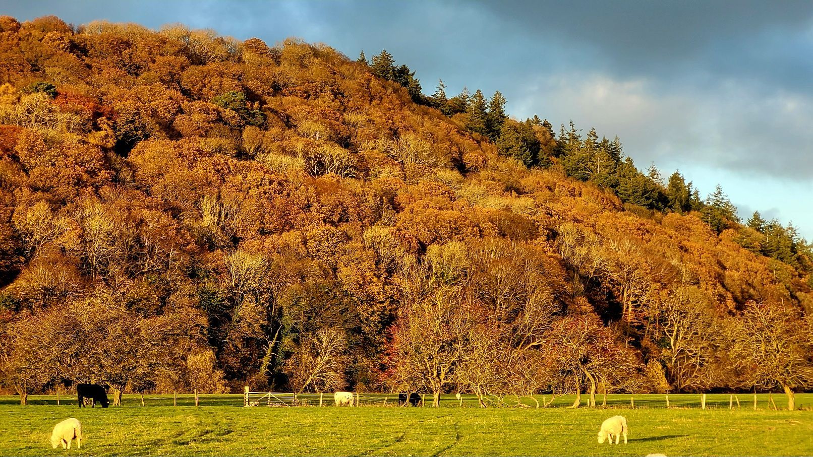
It felt more like the depths of Winter, rather than the start, during my five-day's of hiking across high land at the end of November. The North Pennines is a vast area, featuring the highest paved roads in the country. And the weather can be more changeable than anywhere else; atop Great Dun Fell there's a radar and weather station specifically for studying the clouds, because here you get the highest amount of precipitation.
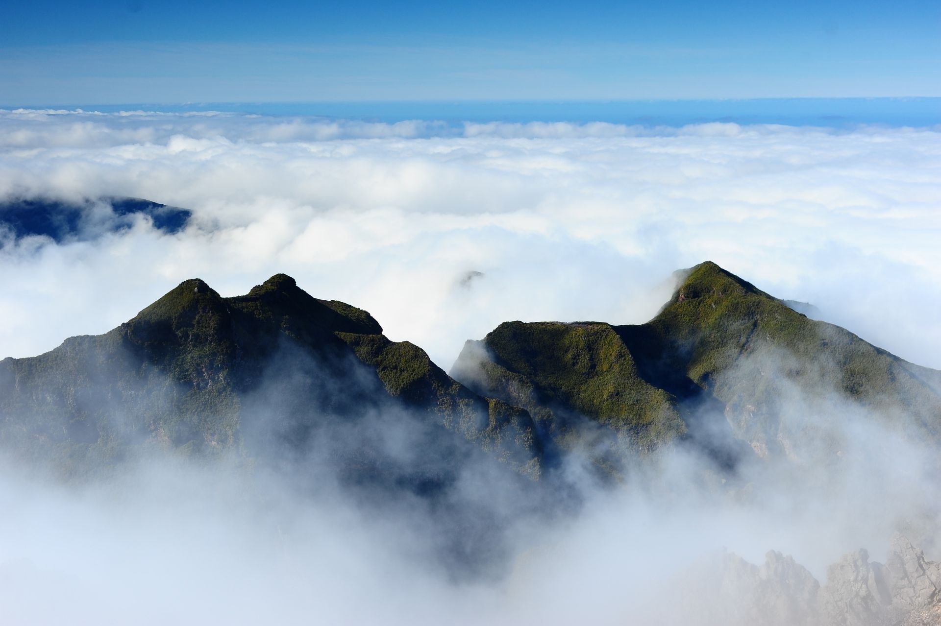
North of Appleby-in-Westmorland, where you reach the picturesque village of Dufton, the Pennine Way national trail leads upwards in a north-easterly direction to reach what must surely be the most impressive place to stand in all of England: High Cup Nick, situated at the head of High Cup Gill. So vast and deep is this valley, that trying to capture it all in a single shot is impossible. Clouds swirl around inside this canyon, with water feeding off the fells at either side.
The Roof of England


Following The River Tees
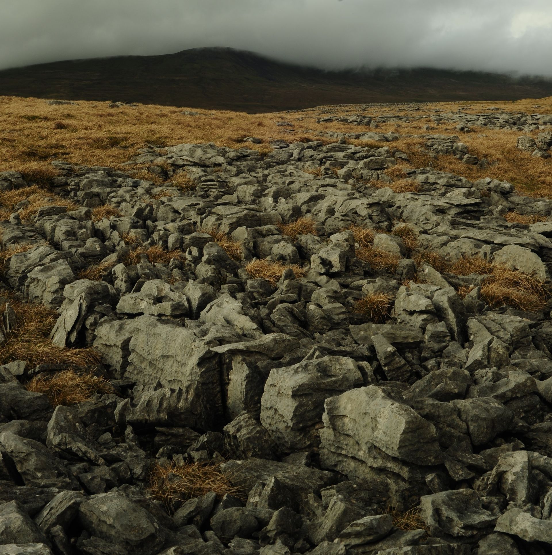
After crossing a footbridge just north of High Cup Plain, I followed Maize Beck all the way across to the River Tees. The two waters meet at Cauldron Snout waterfall. After descending the icy rocks, I followed the river across to Teesdale, calling at Langdon Beck and Middleton-in-Teesdale. The Pennine Way passes a gravel road and some military firing ranges, marked by warning signs. The black grouse is seen and heard for the next few miles.


Returning To High Cup Gill


The land falls away steeply from the edge of High Cup Nick at an elevation of around 600 metres, where the beck emerges farther down the gill and flows in the direction of Appleby in the Eden Valley.


All photographs shot using my Nikon D700.
North Pennines Photographs
- by Jordan Fadden
- •
- 01 Dec, 2023
- •
Early Winter Pennine Scenery
The Roof of England


Following The River Tees


Returning To High Cup Gill